G3 has considerable experience of GIS throughout the country and has provided a broad range of services including:
- Consulting
- Data Analysis
- Data Conversion
- Enterprise GIS
- Topology Construction
- Address Geo-Coding
- Spatial Analysis
- Attribute Attachment
- Land Records and Cadastral Solution
- Conceptual and detailed database design
- Custom Application Development
- Server solutions
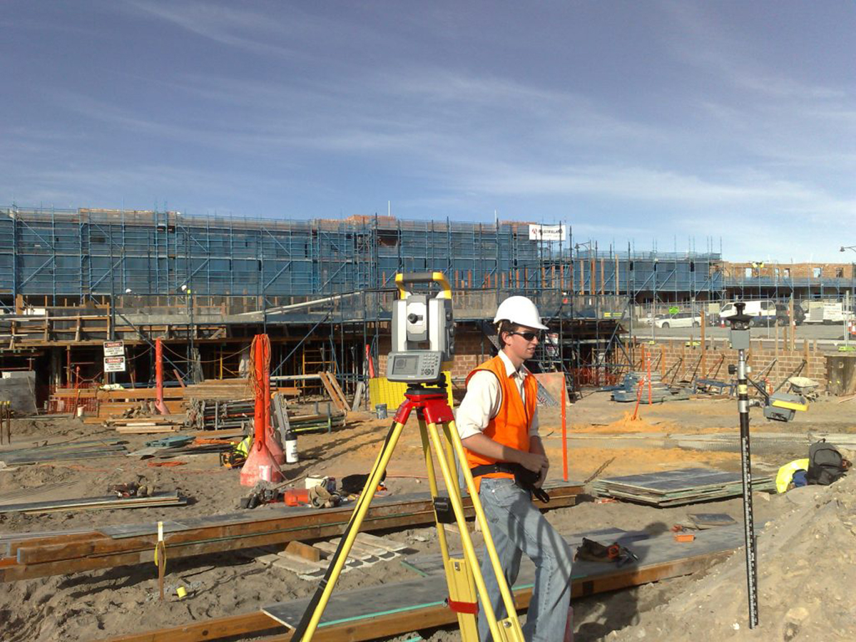
DETAILED ENGINEERING SURVEYS
- Topographic Survey
- Profile Survey
- Hydrographic Survey
- Construction Layout
- Bridge Design Survey
- As-built Construction Survey
- Deformation Studies
- Condition Survey
ROUTE SURVEYS
- Road & Trans. lines Alignment
- Canals and Drains
- Rivers and Lakes
PROPERTY BOUNDARY SURVEYS
- Cadastral Survey
- Parcellary Survey
- Subdivision Consolidation Survey
- Boundary Relocation Survey
- Land Title Registration & Processing


